Work Of The Future: AI Data Training
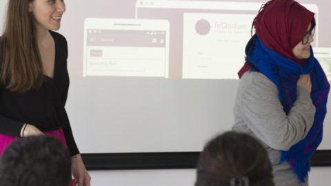
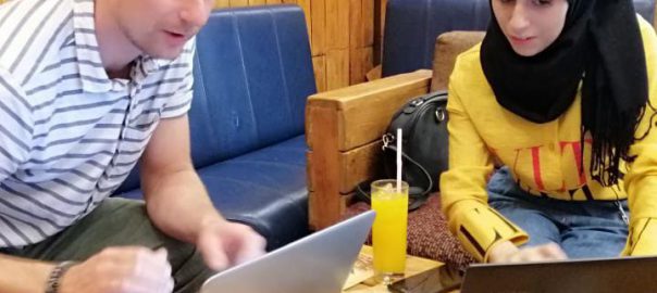
Managing a team on-premise can be challenging. What about managing an online mobile team across several countries for the future of AI Data Training? My name is Nawal, and I am responsibleRead More…

Managing a team on-premise can be challenging. What about managing an online mobile team across several countries for the future of AI Data Training? My name is Nawal, and I am responsibleRead More…

We believe that AI won’t take the jobs, Instead Machine Learning Data Labeling brings an opportunity for Inclusive Business models. What is Inclusive Business? The term Inclusive Business is defined by theRead More…
{
"task_id":4083, "dataset_id":39, "source: Mapbox" "image_url":"https://,
"height":750, "width":750, "status":"VALIDATED",
"annotations":[
   {
      'class':'warehouse',
      'usage':'EXCLUSIVE',
      'polygon':[
         [
            {
               'lat':-23.001231696313557,
               'lng':-43.39389465119096
            },
            {
               'lat':-23.00122182045764,
               'lng':-43.39410909174707
     ],
}
{
"task_id":4082, "dataset_id":35, "image_url":"https://,
"height":750, "width":750, "status":"VALIDATED",
      "annotations":[
         {
            "shape_attributes":{
               "name":"polygon",
               "all_points_x":[
                  160.3125,
                  182.8125,
               ],
               "all_points_y":[
                  366.25,
                  362.5,
            "Bus" : {
                "color" : "#dfe309",
                "index" : 3
            },
"mask": https://portal.taqadam.io/media/
  },
 ],
}
{
"task_id":4085, "dataset_id":38, "image_url":"https://,
"height":750, "width":750, "status":"VALIDATED",
"annotations":[
         shape_attributes{
            name polyline,
            all_points_x[
               61,
               408,
               596,
            ],
            all_points_y[
               484,
               480,
               477,
               480
            ]
         },
         region_attributes
         {emergency lane
         __object_id67806,
         },
}{ "task_id":4083, "dataset_id":36, "image_url":"https://, "height":750, "width":750, "status":"VALIDATED", "annotations":[ "shape_attributes":{ "name":"Container", "y":27 "x":259 }, { "y":25 "x":248 ... "region_attributes":{ "id":"wuh68", "Container type":[ "Storage" ], }
{ "task_id":4083, "dataset_id":36, "image_url":"https://,
"height":750, "width":750, "status":"VALIDATED",
"annotations":[
      {
         "shape_attributes":{
            "x":2261.875,
            "y":1850.715,
            "name":"rect",
            "width":800,
            "height":653,
            "Label": "airplane"
         },
         "region_attributes":{
            "id":"lt7uo",
            "Tag":"Airplane",
            "Bounding box":"Boeing 737",
            "__object_id":65417,
            "validation_status":"Ok"
         }
      },
         ],
      "image_name":"32244_fefe288c2a7153653df01f05fdbe514b.jpg"
}{ "task_id":2110, "dataset_id":21, "image_url":"https://", "height":2800, "width":3500, status":"VALIDATED", { "annotations": [ "image-level_attribute":{ "School":"yes", "Quality":"Visible", }, ] "image_name":"32244_fefe288c2a715.jpg" }
Our team will get back to you within 24 hours.
